
ھۆججەت:BlankMap-World-1993.png

ئەسلى ھۆججەت (1,500 × 740 پىكسېل، ھۆججەت چوڭلۇقى: 90 KB، MIME تىپى: image/png)

|
This locator map image could be re-created using vector graphics as an SVG file. This has several advantages; see Commons:Media for cleanup for more information. If an SVG form of this image is available, please upload it and afterwards replace this template with
{{vector version available|new image name}}.
It is recommended to name the SVG file “BlankMap-World-1993.svg”—then the template Vector version available (or Vva) does not need the new image name parameter. |
ئۈزۈندە
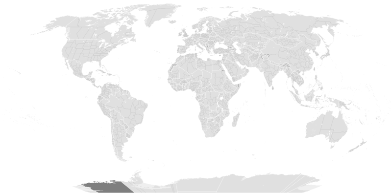
Blank map of the world between January 1, 1993 (Czechoslovakia splits into Czech Republic and Slovakia) and May 24, 1993 (Eritrea breaks off from Ethiopia).
Previous map currently available (there are missing steps, see here): Image:BlankMap-World-1990.png Next map: Image:BlankMap-World-2000.png
| Blank maps of the world for historical use | |
| pre-1800 | |
|
19th century | |
|
20th century | |
|
1902 · 1912 · 1914 · WWI · Aug 1918 · 1920 · 1921 · 1924 · 1926 · 1935 · 1937 · Mar 1938 · Oct 1938 · Mar 1939 · Oct 1939 · WWII · Nov 1942 · May 1945 · 1957 · 1959 · 1962 · 1968 · 1970 · 1985 · 1990 · 1993 | |
|
21st century | |
| (this template: · view · discuss ) | |
.PNG)
ئىجازەت

|
Permission is granted to copy, distribute and/or modify this document under the terms of the GNU Free Documentation License, Version 1.2 or any later version published by the Free Software Foundation; with no Invariant Sections, no Front-Cover Texts, and no Back-Cover Texts. A copy of the license is included in the section entitled GNU Free Documentation License. |
| This file is licensed under the Creative Commons Attribution-Share Alike 3.0 Unported license. | ||
| ||
| This licensing tag was added to this file as part of the GFDL licensing update. |
ھۆججەت تارىخى
چېسلا/ۋاقىت چېكىلسە ئەينى ۋاقىتتا كۆرۈلگەن ھۆججەتنى كۆرسىتىدۇ.
| چېسلا/ۋاقىت | كىچىك سۈرەت | ئۆلچەم | ئىشلەتكۈچى | ئىزاھات | |
|---|---|---|---|---|---|
| نۆۋەتتىكى | 09:36, 14 سىنتەبىر 2019 | | 1,500 × 740 (90 KB) | AKS471883 | Chongqing was separated from Sichuan in 1997, North Kalimantan was separated from East Kalimantan in 2012. |
| 11:08, 10 ئۆكتەبىر 2017 |  | 1,500 × 740 (104 KB) | Expertseeker90 | Substantial overhall. | |
| 21:30, 15 ماي 2015 |  | 1,425 × 625 (18 KB) | RokerHRO | optipng -o7 -i0 → 42.16% decrease | |
| 17:30, 10 مارت 2010 |  | 1,425 × 625 (30 KB) | SeNeKa~commonswiki | Updated | |
| 13:16, 13 ئىيۇن 2009 |  | 1,427 × 628 (50 KB) | Hoshie | Added a pixel around Timor island, fixed Cabinda (Angola), fixed the border of Yemen and Saudi Arabia to where it was before the 2000 treaty based on this 1976 map [http://www.lib.utexas.edu/maps/middle_east_and_asia/middle_east_pol_1976.jpg http://www.li | |
| 03:06, 24 سىنتەبىر 2007 |  | 1,427 × 628 (50 KB) | Hoshie | put the (N/S) Yemen boundary in white due to the fact the boundaries in southern Saudi Arabia have been disputed, undemarcated, or undisclosed over the years. fixed Yugoslavia. See talk | |
| 10:56, 24 يانۋار 2007 |  | 1,427 × 628 (50 KB) | Hoshie | The Yemen boundry with Saudi Arabia did not exist until 2000 | |
| 00:37, 22 دېكابىر 2006 |  | 1,427 × 628 (50 KB) | Roke~commonswiki | Blank map of the world between January 1, 1993 (Czechoslovakia splits into Czech Republic and Slovakia) and May 24, 1993 (Eritrea breaks off from Ethiopia). Next map: Image:BlankMap-World-2000.png Category:Historical blank world maps |
ھۆججەت ئىشلىتىلىشى
بۇ ھۆججەتنى ئىشلەتكەن بەت يوق.
ئورتاق ھۆججەت ئىشلىتىلىشى
تۆۋەندىكى باشقا ۋىكىلار بۇ ھۆججەتنى ئىشلىتىدۇ:
- ca.wikipedia.org دىكى ئىشلىتىشى
- en.wikipedia.org دىكى ئىشلىتىشى
- fr.wikipedia.org دىكى ئىشلىتىشى